Discussion: A strong western ridge will continue to guide a significant core of cold air from northern Canada into the eastern US. Pictured here:

An upper level trough will become a focal point for a system that will bring snowfall to much of the region on Tuesday. An upper level disturbance within this trough is traversing the upper midwest and will swing southeastward tonight across the Ohio valley and transfer energy to a developing surface low on the east coast tomorrow morning.
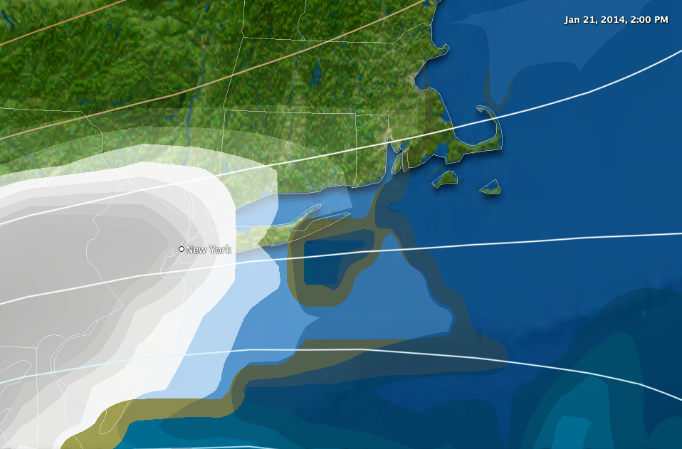
Today: A cold front currently stretched across southern New England has triggered some flurries and snow showers over interior Connecticut and Massachusetts. This will slip south tonight.
Tomorrow: The axis of the upper level trough will slide over the Ohio valley, while a surface low develops in the vicinity of Cape Hatteras, NC. It will deepen just offshore and track northeast toward the Canadian maritimes. Snow breaks out across Connecticut during the early afternoon hours:
… and It tapers off during the early morning on Wednesday from west to East.
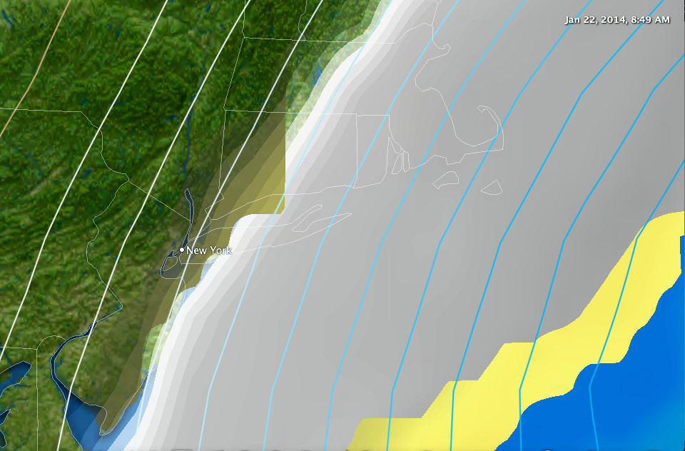
By the time all is finished, South and east of I-84 could see a 7-10″ snow fall, while a 4-7″ snowfall is expected to the north and west. Temperatures during the storm will fall into the single digits and teens during the overnight hours on Wednesday making this another brutally cold, high ratio snowfall. Whiteout conditions are possible for a time along the Connecticut coast, especially the father south and east you get – although I do expect this to fall short of blizzard criteria in our state.
Following the Storm a period of extended cold is likely as the western ridge continues to generate a favorable eastern pattern for reinforcing shots of cold air.

Leave a comment