The changeover from rain to snow is underway, perhaps a little slower than originally anticipated, but nonetheless is happening. Temperatures across Connecticut range from the mid to upper 30’s still (35ºF in Westbrook as of 2:44 AM)
Correlation Coefficient readings from the dual pol data indicate that the mix line has cleared most of Connecticut.
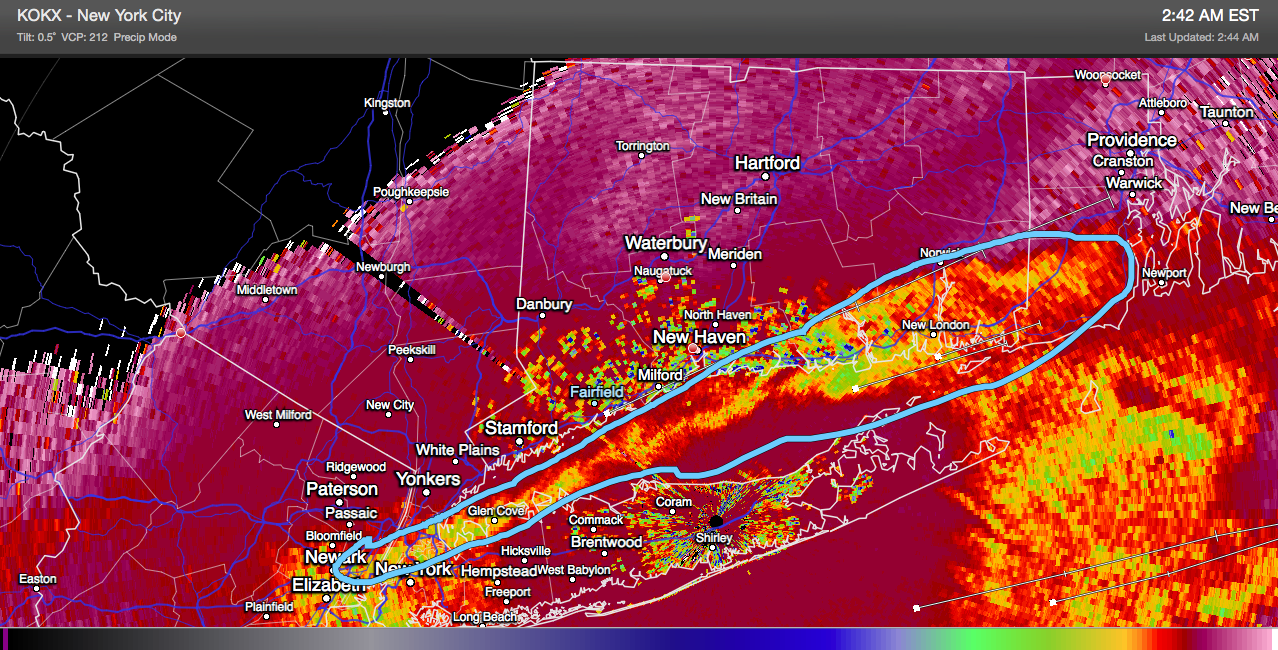
This is primarily due to upper level temperatures dropping with the enhanced convection and an approaching cold front. We are still expecting a hazardous AM commute across much of the state with the heavier precipitation favoring the southern half.
Despite all that, the forecast looks on track. No significant changes to the snow map previously posted, but I am leaning toward the lower end of the respective ranges with a general 1″-3″ around I-84 possibly 4″ by the shoreline – generally higher amounts south.
This precipitation wraps up during the afternoon today and gives way to a very cold night with temperatures dropping below 10ºF across a large area.

Leave a comment