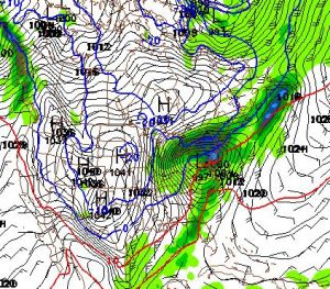
Light snow’s could take shape over New England this afternoon, not much to be said about that. Eyes to next week turns a bit warmer than I originally thought and I will put off my snow map until things start to come a bit clearer.
I do know the GFS has generally trended east of the actual track, so if this verifies – it will be one heck of a rain storm on the eastern seaboard and an extremely dangerous roof-collaspe situation for folks that have had a lot of snow. It also has the support of a positive NAO and this very likely could cut along the Appalachians. Until then…

Leave a comment