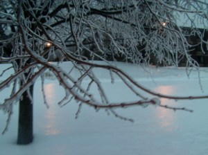
Good Wednesday everyone, a major ice storm is wrapping up for portions of southern New England at his hour but not before it dropped nearly a quarter inch of freezing rain that coated everything.
1. With the secondary low tracking over Long Island, temps have warmed up, I expect that coastal front to be slow to progress northward.
2. A flash freeze is likely this evening. Thunderstorms are actually forming along the coastal front in Pennsylvania! Very cold air will usher in behind it, temps only around 10-15 degrees overnight.
3. Tracking a storm this weekend. I will have a new snow map drawn up later today.
The big question remains: was this last storm a pattern buster or do we have more snow storms on the coast to come ? Until then…

Leave a comment