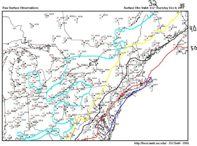
No Major changes to my map.. I just wanted to point out the progression of the temperature field using the latest surface obs map. Much more widespread area of low 30’s. 50s still hanging on in eastern zones. I drew out a rough contour of it myself.
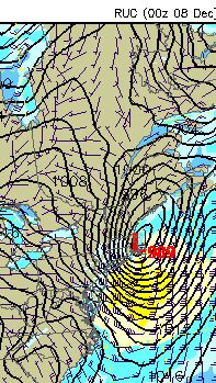
The story along the I-95 corridor of course won’t be the snow, although it’s not impossible to see some flakes at the end of this storm, it will be the winds. Take a look at the RUC surface map for 9Z tomorrow:
This thing will be cooking up one heck of a pressure gradient during the morning hours, and it could be a driving force for some gusty winds in the onset of the day. Colder Temps will follow area wide – Again, I think my snow map looks good for the interior – very little if any on the coast.


Leave a comment