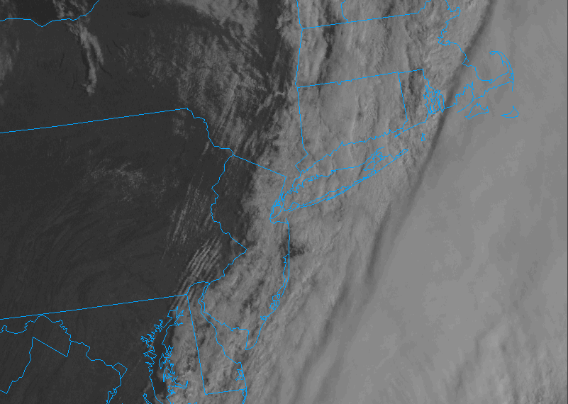
A cold front passage early this morning has begun to bring drier air into the region. Dew point depressions are 5 to 10ºF state wide with air temperatures still hanging around in the upper 40s to near 50. The visible Satellite picture reveals some clearing skies beginning to work their way towards us – already into parts of the Hudson valley and western New Jersey as of 9:00 AM. This will move into the state through midday.
This afternoon will feature breezy conditions under sunshine and temperatures rising well into the 50s. Some upper level energy will swing through later today into this evening which will bring some clouds, and even a scattered shower or two. Gusty winds will continue into the evening hours and be a limiting factor in how much those temperatures will drop tonight. Sunshine with above normal highs Thursday, then a second cold front will approach later tomorrow, bringing a reinforcing shot of cold air for the end of the week.
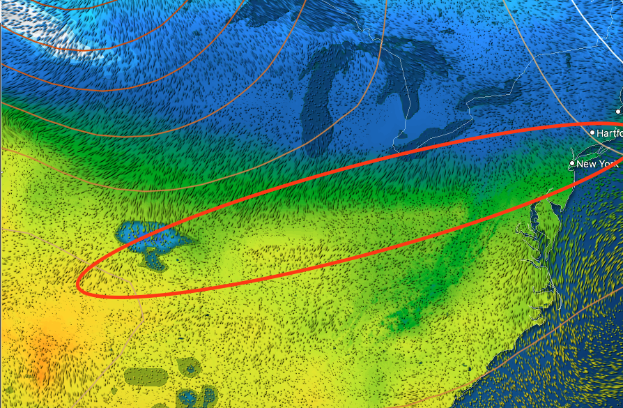
Friday: Increasing frontogenesis in the midwest between mild flow from a southeastern High pressure center and a cold northerly flow out of central canada will cause precipitation to break out along this frontal boundary. An upper level shortwave swinging down from central Canada and through the midwest will provide enough energy for weak low pressure to develop and track eastward along this boundary.
Clouds will increase Thursday afternoon and Snow will break out between 1 and 3 AM Friday across the state. At this time it appears the strongest lift will occur near the coast, which would favor higher amounts in the southern half of the state. The Friday morning commute will be tough, but any snow will quickly come to an end around midday with dramatically improving conditions for the afternoon and evening.
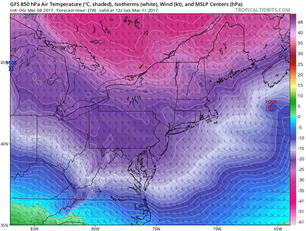
Behind the system, a second round of brutally cold weather will move in for Saturday. 850MB temperatures are progged to be around -18ºC, which favors low 20s for Highs in mid winter. Temperatures will not make it out of the 20s Saturday, and will struggle to reach 30 on Sunday with a mix of sun and clouds both days.
Attention then turns to early next week where Storm #2 is looking more interesting. Further analysis will be done on this once we get through the Friday system, but there is increasing agreement that a large coastal storm will develop nearby on Tuesday. Stay tuned.

Leave a comment